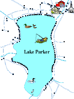
WALKING PATH AROUND LAKE PARKER

If you plan to use any shortcuts deviating from this map, please acquire the landowners’ permission in advance. Distance is noted between red dots.
Total trip: 19, 120 ft ~ 3.62 mi
See a larger version of this picture
FACTS ABOUT LAKE PARKER
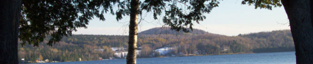
Location: Town of Glover, Orleans County, VT
Size:
Acreage – 239 acres
Maximum Length – Just over 1 mile
Maximum Width – Just over ½ mile
Depth:
Water Level-1302 ft above sea level (396.9 m)
Maximum Depth – 48 ft (14.7 m)
Average Depth – 25 ft (7.7 m)
Watershed: 5,310 acres
OFFICIAL MAP OF LAKE PARKER
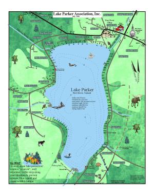
Last updated July 2009
See a larger version of this map
