In 2020, one of our Lake neighbors wondered how Lake Parker originated or was formed.
While there are varying opinions, according to the Geology Department of the University of Vermont and the Vermont State Geologist, the following seems to be the most likely scenario:
Some three million years ago, during the “Ice Age”, prolonged cold temperatures caused snowfall to accumulate (not melt), resulting in the formation of large snowfields. As the weight of the snow increased, the lower layers turned to ice and the combined weight of the snow and ice caused the lower layers of ice to flow or move very slowly. This phenomenon is what is called a glacier.
During various time periods, melting of the snow and ice pack caused the glacier to retreat northward, and then advance southward during cold periods. Some believe the glacial ice advanced and retreated across the whole of Vermont four times!
In some locations, the ice was more than one mile thick, weighing more than 1500 tons per square foot, pushing or compressing the earth downward some 1700 feet below its present level. After the ice retreated, the earth’s surface rebounded upward!
The movement of the ice changed the landscape of Vermont; large and small lakes were formed when the glacial ice blocked melting water from retreating.
When the “Burlington Stage Ice” retreated to the northwest, some 12,000 to 14,000 years ago, the ice scoured the earth, removing softer rock and soil, and forming depressions which were filled with water. Depressed areas with softer soil materials are known as “glacial moraines”; depressed or carved areas of harder rock are known as glacially scoured rock basins. Lake Willoughby is an example of a glacially scoured rock basis, which has large areas of exposed rock with very steep slopes, likely carved by retreating ice.
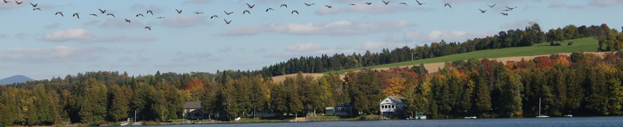
It is thought that Lake Parker is a glacial moraine, formed between 12,000 to 14,000 years ago, by the retreating glacial ice which removed softer soil materials; Lake Parker is generally surrounded by low sloped topography with few locations of exposed rock formations.
Randy Williams reports that boulders moved by glacial ice movements including one containing a petroglyph are located on the Williams-Day property, on the east side of Lake Parker.
The documents which were reviewed for the preparation of this article are listed below.
This article was submitted by John Wooten, April 2016.
The documents which were reviewed for the preparation of the article include:
• “The Geology of Vermont” by Barry Doolan, Department of Geology, University of Vermont
• “Vermont Glaciers” from the University of Vermont
• Email correspondence with Stephen Wright, Professor, Geology Department, University of Vermont
• “Glacial Lake Memphremagog” by the Vermont State Geologist (Thanks to Randy Williams for this one)
• Various Articles from Wikipedia regarding Lakes and Topography in Vermont
